
**March 2018 UPDATE – The Caribbean Restoration Explorer now lives on a standalone, Caribbean-focused site: http://maps.coastalresilience.org/caribbean/ Links below have been updated to reflect the new location**
The Caribbean team has developed new web-based tools that can be used to prioritize coral and mangrove restoration sites based on the ecosystem services these coastal habitats provide. There are two separate tools, one for the Caribbean region as well as for the Cayman Islands, specifically. The Cayman Island’s Department of Environment is seeking to expand marine protection and prioritize management and restoration efforts of their coastal habitats. The objective of this tool is to identify where coral reef and mangrove habitats are likely to 1) reduce exposure to erosion and flooding from storms and future sea levels; 2) protect vulnerable people and property; and 3) maintain recreation and tourism appeal that drives the economic engine of the Caribbean. Natural Capital’s InVEST tools were used to model the tourism and coastal defense benefits that these habitats provide. Tourism benefits were modeled using thousands of geotagged photographs from the flickr image hosting site which revealed hotspots and patterns of tourism. Coastal defense benefits were modeled to highlight the protective services offered by natural habitats to coastal populations. The results provide a quantitative representation of erosion and inundation risks along the coastline. This information can help coastal managers, planners, and landowners to develop smarter permitting strategies and identify the mangroves and coral reefs that provide greater coastal protection, thus targeting more focused management or restoration attention on areas that will provide the most benefits.
The Caribbean Restoration Explorer has comparable methodologies and applications, but in addition, uses a regional coral connectivity model, which relies on NOAA’s Real Time Ocean Forecasting System ocean circulation model to analyze coral larval spawning and dispersion events throughout the Caribbean Sea. This allows user to explore important connection patterns among coral habitats across countries and throughout the Caribbean region as a whole (Schill et al. 2015).
The team is currently designing the “Reef Rover,” a low-cost autonomous boat-based drone that captures stereo-paired underwater photos that are turned into high-resolution photo mosaics and 3D models. This new tool will provide a unique way to monitor reefs on a more consistent basis, providing detailed imagery that can be used to understand changes in reef health and growth rates.
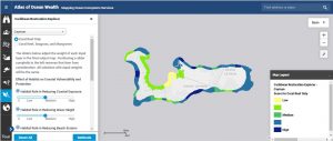
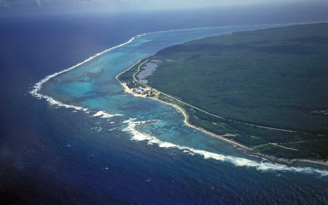
Photo credit: Brad Northrup/© The Nature Conservancy