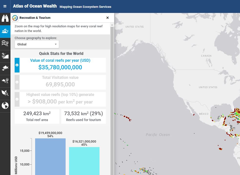
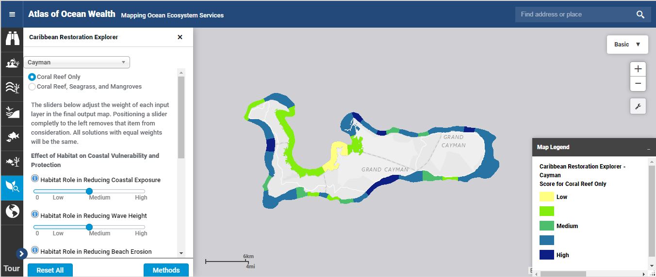
The data generated from Mapping Ocean Wealth’s science and modelling efforts can be used to help inform decisions and set priorities. Modeled results are translated into freely-available, interactive tools, such as maps and calculators, which can be used to inform decision-making and priority setting at a variety of geographic scales.
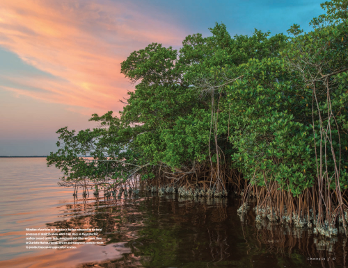
Top image: ©Ian Shive. Photo Credits: © Jeff Yonover, © Jonathan Kerr, © Tim Calver, © Nick Hall, © Carlton Ward Jr.

