
Overview
Marine Spatial Planning (MSP) emerged in 2006 in response to a need for implementing ecosystem-based management and incorporate values of the ocean that are not normally captured in a management plan or planning process for a common property resource such as ecosystem services. MSP uses a public participatory process to address ecological, economic and social objectives and has changed the status quo of governance structures and decision-making frameworks to address the complexity of decisions confronting governments for existing and future activities and consider cumulative impacts. The goal of MSP is to be able to account for these other values in the ecosystem and fully account for these to safeguard long-term ecosystem health and the well-being of human communities. Read more about marine spatial planning from IOC-UNESCO.
Historically, marine planners had limited tools to identify and incorporate ecosystem service models to inform marine plans. More recently, ecosystem services have been in marine plans, a sign that these data are very helpful and tools are available to measure these services with respect to planning objectives. In fact, a recent study by Ruckelshaus et al. on “Lessons from the field” published in Ecological Economics (July 2015, Volume 115) found 22 locations around the world where ecosystem services information was used in decision-making. These encouraging examples point to a growing acceptance and applicability of ecosystem services in marine spatial planning.
TNC’s Mapping Ocean Wealth (MOW) datasets have been used to inform several MSP projects to date and there are proposals for further integration as projects evolve. See below for examples of geographies where MOW have, or will be, used.
Learn more about these, and other projects at marineplanning.org.
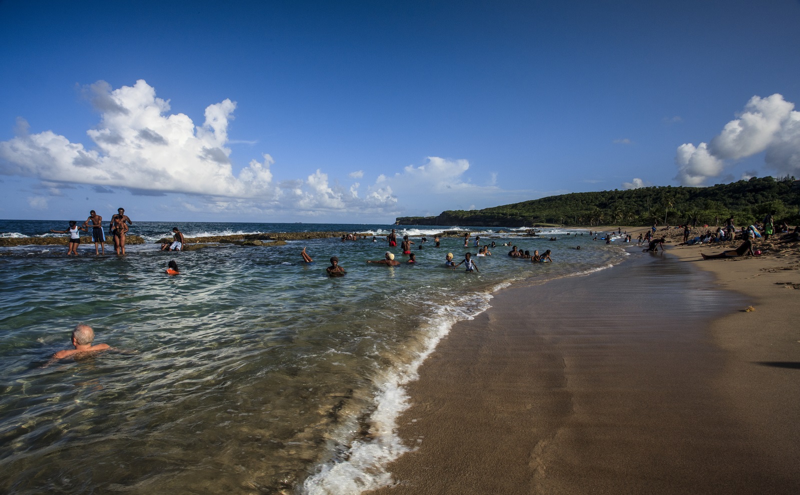
The Caribbean Regional Oceanscape Project (CROP) project will strengthen ocean governance in Grenada, St. Lucia, St. Vincent and the Grenadines, St. Kitts and Nevis, and Dominica by: a) development of coastal and marine spatial plans and associated training; and b) development of national ocean strategies/policies for participating countries. One objective of CROP is to improve ocean data access to decision-makers. Expanding and enhancing the MOW platform to improve data coverage in the region and developing mobile applications for improved datasets and tools will improve coastal and ocean data access to decision-makers. Read more about the project on marineplanning.org or oceanwealth.org and view maps at oceanwealth.org/oecs
Mapping Ocean Wealth team members in Micronesia are planning on using the coral reef fisheries model as an input to the marine spatial planning process in Chuuk, located in the Federated States of Micronesia.
While the coral reef fisheries dataset is informative at a regional scale, the team is planning on enhancing the data for improved accuracy and utility at finer scales. This involves correcting inaccuracies caused by data limitations, and adjusting the model so that it better predicts reef fish standing stock and recovery on lagoon reef habitats, rather than on reef slopes and fringing reefs, reflecting the predominant habitats in Chuuk.
Similar to the regional MOW model, an output from this model will be a spatial map indicating where maximum ecological benefits are likely to accrue as a result of improved fisheries management. This information can be used in spatial prioritization exercises, for example, to design a protected area network that would achieve Micronesia Challenge targets whilst prioritising reefs that will produce the greatest benefits in terms of increasing reef fish biomass. Read more about the marine spatial planning efforts in Chuuk here.
The objectives of the Seychelles MSP are to expand marine protection from 0.04 % to 30% of Seychelles’ marine waters, address climate change adaptation and support the development of the Blue Economy. As of March 2020, Seychelles has met its marine protection target having gazetted a marine protected area network covering 33% of its marine jurisdiction. The transition from zoning to implementation is being developed, with a goal for implementation in 2022. In 2021, the Mapping Ocean Wealth team completed an analysis to quantify the ecosystem goods and services provided by Seychelles Protected Area System. This work can support adaptive management of Seychelles’ waters. The process of quantifying ecosystem services provides us with a reference base against which changes can be evaluated going forward, and management actions can be adapted as necessary. This project quantifies and maps natural capital across the entire country, before assessing their coverage by the current protected areas system. Such data can enable subsequent assessment of where that capital is likely being “spent down” the fastest, or where it is relatively safe from threats. Learn more about the project here, and read more about the marine spatial planning efforts here.
Top image: © Jeff Yonover. Photo Credits in Text: © Marjo Aho, © Nick Hall, © The Ocean Agency