
Modelling and Mapping Fishing Impact and the Current and Potential Biomass of Coral-Reef Fishes in South Florida
- The maps generated by this project represent the first spatially explicit, continuous maps of fishing impact and current and potential fish biomass for the entire Florida reef tract.
- Using federally collected fish survey data from the National Coral Reef Monitoring Program (NCRMP) Reef Visual Census (RVC), the project had access to 3,983 fish surveys from coral reef and hardbottom habitats across the Florida reef tract.
- Model results were also generated for several smaller ‘management jurisdictions’ within the reef track, including two national parks and the Florida Keys National Marine Sanctuary. . These results highlight local drivers of fish biomass.
The Nature Conservancy collaborated with Alastair Harborne’s Tropical Fish Ecology Lab at Florida International University to model and map cumulative fishing impact and reef fish biomass across the the 580 km (360 miles) of coral reefs along Florida’s east coast. The models and resulting maps provide key insights for assessing the potential benefit of conservation and management investments such as restoration and other protection activities.
The project was done in two phases, with Phase 1 taking a broad brush to modeling and mapping the entire Florida reef tract. Phase 2 allowed further refinements, including modeling area-specific sections of the reef tract (the Southeast Florida Coral Ecosystem Conservation Area (Coral ECA), Biscayne National Park, Dry Tortugas National Park, and Florida Keys National Marine Sanctuary). Models were run for 5 groupings of reef fish species: the snapper-grouper complex; all fished species; herbivorous fishes (largely unfished); species in the marine life complex (saltwater fishes harvested nonlethally for commercial wholesale and retail aquarium dealers); and total biomass (all species documented in RVC surveys).
The model results are useful tools for exploring fishery outcomes under a range of management options and environmental change scenarios (e.g., restoration for increased reef rugosity). This new information can be used to help set realistic expectations for area-based management outcomes and aid in restoration decision-making. The results also provide information relating to fish biomass and fishery impacts for areas where few survey data currently exist. The intent is to provide information to managers and stakeholders to improve understanding of ecological trade-offs and potential benefits predicted under different management and ocean use scenarios.
Detailed modeling and mapping methods can be found in the full report. To explore the data, visit the Coral Reef Fisheries app on Mapping Ocean Wealth.
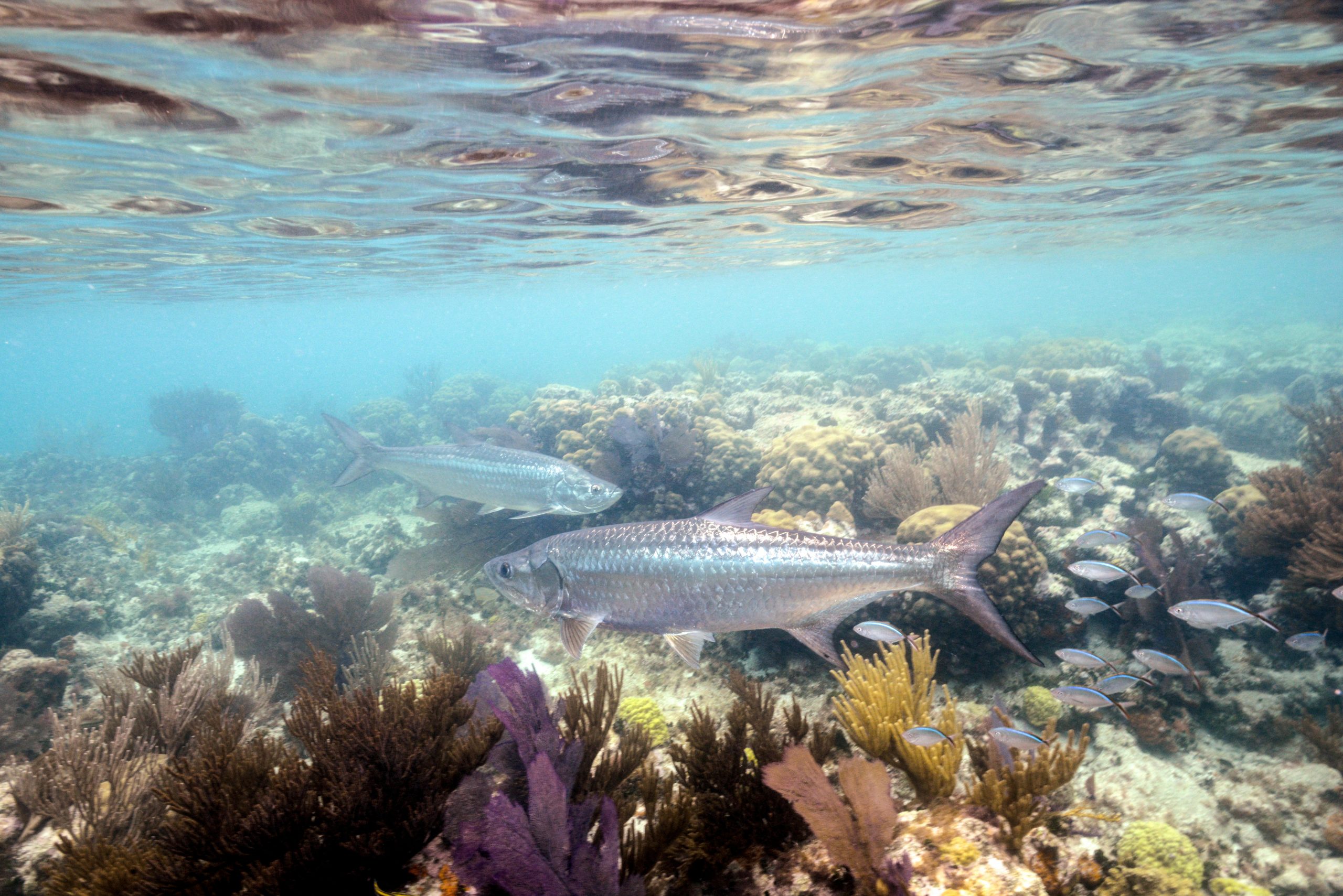
Photo credit: Carlton Ward Jr.