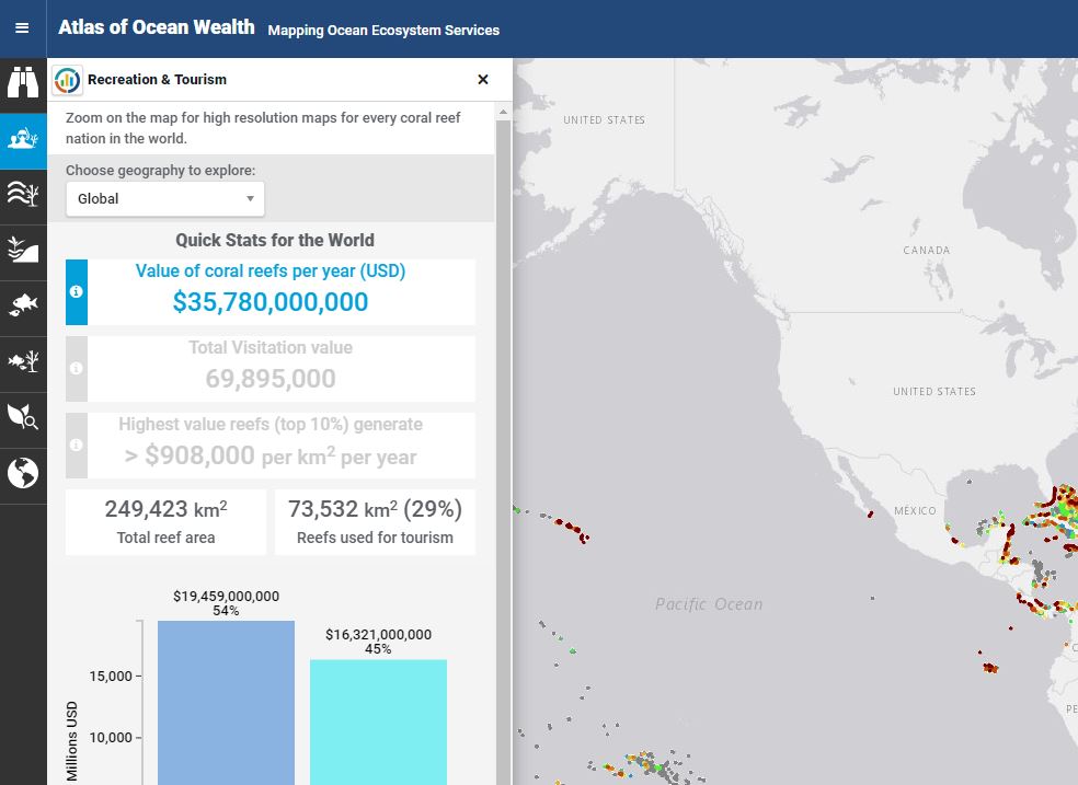
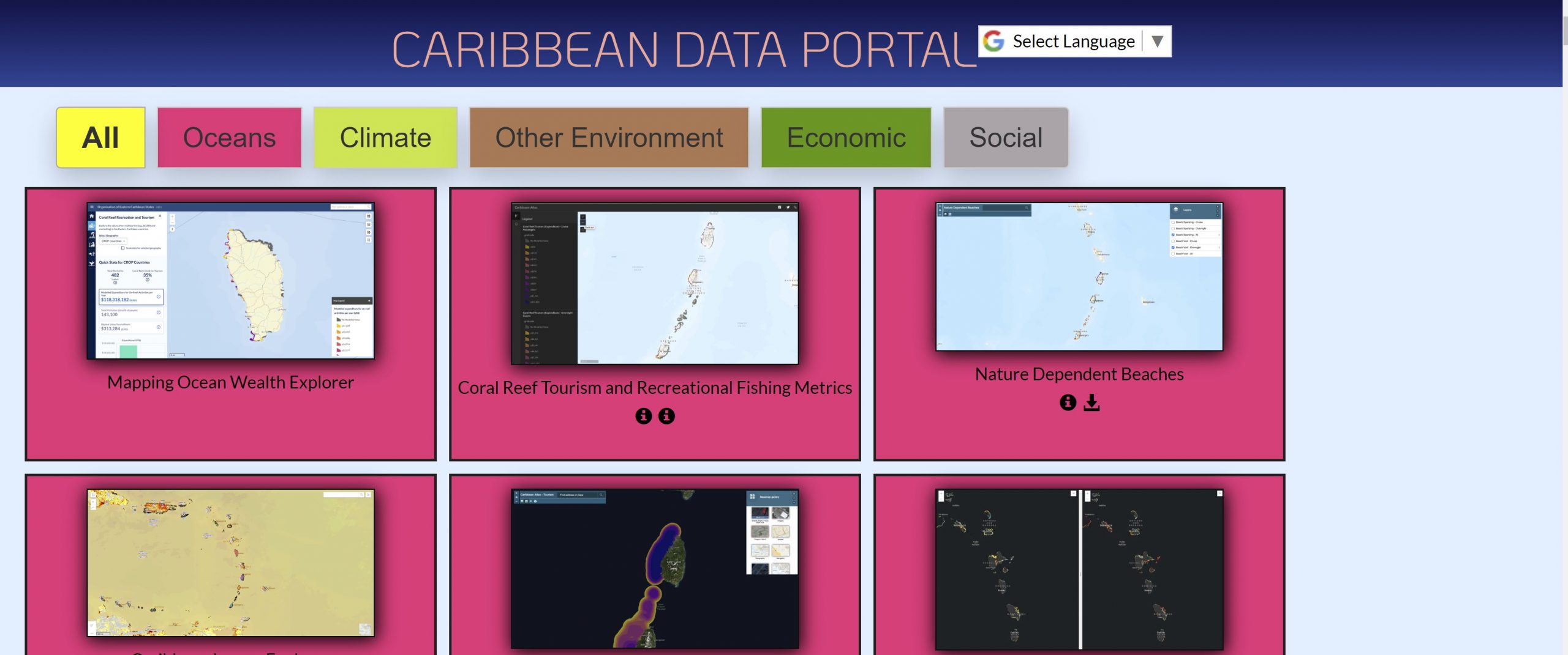
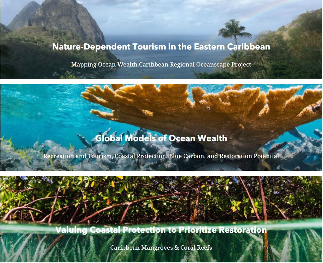
Under this project, two web-based applications were designed to provide easy access to data, maps, and statistics derived for the region. These tools are mobile-enabled and build upon existing tools, and the data provided through these tools is key to making informed decisions about ocean uses and economic development in support of the region’s Blue Economy. The Mapping Ocean Wealth tool is an extension of the global Mapping Ocean Wealth site, offering region-specific data and features developed specifically under this project. The Spatial Agent tool is an extension of the World Bank’s Spatial Agent site. Here, the ecosystem service maps developed under this project can be veiwed alongside over 100 and regionally-specific datasets related to coastal and marine sustainability and the Blue Economy. A Storymap was also produced to highlight project results and to connect the results of this project to other related work in the Caribbean.


