
The World’s Tidal Marshes are Finally on the Map
In a breakthrough for ecosystem mapping, researchers at The University of Cambridge and TNC have published the first globally consistent map of Earth’s tidal marshes. The 10m resolution map is now publicly available on Google Earth Engine and will be available on Mapping Ocean Wealth and Global Mangrove Watch later this summer. These often underappreciated yet highly productive coastal ecosystems are critical contributors to human wellbeing, climate, and biodiversity. The map will allow countries to better understand the extent of tidal marsh habitat along their shores, and to identify opportunities for conservation and restoration.
Tidal marshes are supercharged ‘blue carbon’ ecosystems effectively playing a similar ecological role in cooler coastal waters to that of mangroves in warmer regions. The marshes – which include both salt and freshwater marshes—store carbon in their soils for millennia, making them crucial contributors to efforts to mitigate climate change. They also support countless plant species in their nutrient-rich soils and represent vital ‘nursery’ environments, as well as feeding and nesting grounds for billions of birds and fish, molluscs and crustaceans.
“Until now, small-scale maps have depicted the local extent of tidal marshes, but there has been no globally consistent map” said Mark Spalding, Senior Marine Scientist at TNC and co-author. “The new map shows areas we’ve known about for a long time, such as the extensive tidal marshes in the Chesapeake Bay, USA, but now we can also see their distribution in places where they are often overlooked—including the Middle East, North Africa and South America.”
The global map highlights the Atlantic shores of North America and Northern Europe, as the global epicentre, with 45% of the world’s tidal marshes. Their location on rich, low-lying land adjacent to waterways, often some of the world’s most populated areas, means tidal marshes have long been cleared and drained for agriculture, industry, transport networks and urban expansion. So much tidal marsh area has been degraded or drained, in fact, that these ecosystems are now rare – covering only 53,000 km2 of land across the globe In comparison, mangroves cover nearly three the area . As with mangroves, however, tidal marshes are considered a blue carbon ecosystem par excellence and protecting what remains is critical.
“We know the value of tidal marshes at a local level,” said Judy Haner, Director of Marine Programs at The Nature Conservancy of Alabama, which oversees the landmark Lightning Point restoration project along one of the state’s most iconic shorelines. “The Lightning Point project – which effectively created new tidal marsh habitat from scratch in a degraded estuary heavily reliant on its seafood economy – has during its short lifetime to date increased community resiliency and protected this iconic fishing community from multiple major storms. We are also seeing nesting shorebirds return to the coast, in marshes that simply did not exist just a few years ago.”
The researchers behind the new tidal marsh map hope that local conservation initiatives like Lightning Point can provide powerful blueprints, while the global map can encourage a vast scaling up of conservation, enabling communities the world over to benefit from tidal marsh conservation and restoration.
Elaborating further on the project’s rationale, Dr Tom Worthington, a TNC-funded researcher at of the University of Cambridge, and senior author of the research adds: “The publication of this map is provoking a similar upsurge of interest in the conservation of tidal marshes, and should focus attention, especially in areas where these ecosystems have historically been overlooked. The map also gives researchers a baseline against which to measure future changes to these ecosystems, allowing countries to build more effective tidal marsh protection and restoration into their national climate mitigation and adaptation strategies.”
The Nature Conservancy and partners at the University of Cambridge and the University of Delft are already working on several associated initiatives, including a global model of carbon storage in tidal marshes that will be applied to the existing map, as well as a global model of the importance of tidal marshes in protecting people and infrastructure from storm surges and flooding. Projects like these will further improve the world’s understanding of tidal marshes in the global carbon cycle and provide more information of the risks from further loss—bringing these critical ecosystems into wider conversations about climate mitigation.
Note: the associated academic paper is undergoing review. In the interim, a public pre-release can be viewed here and cited as follows:
Worthington, T. A., M. Spalding, E. Landis, T. L. Maxwell, A. Navarro, L. S. Smart, and N. J. Murray. 2023. The distribution of global tidal marshes from earth observation data. bioRxiv DOI: 10.1101/2023.05.26.542433
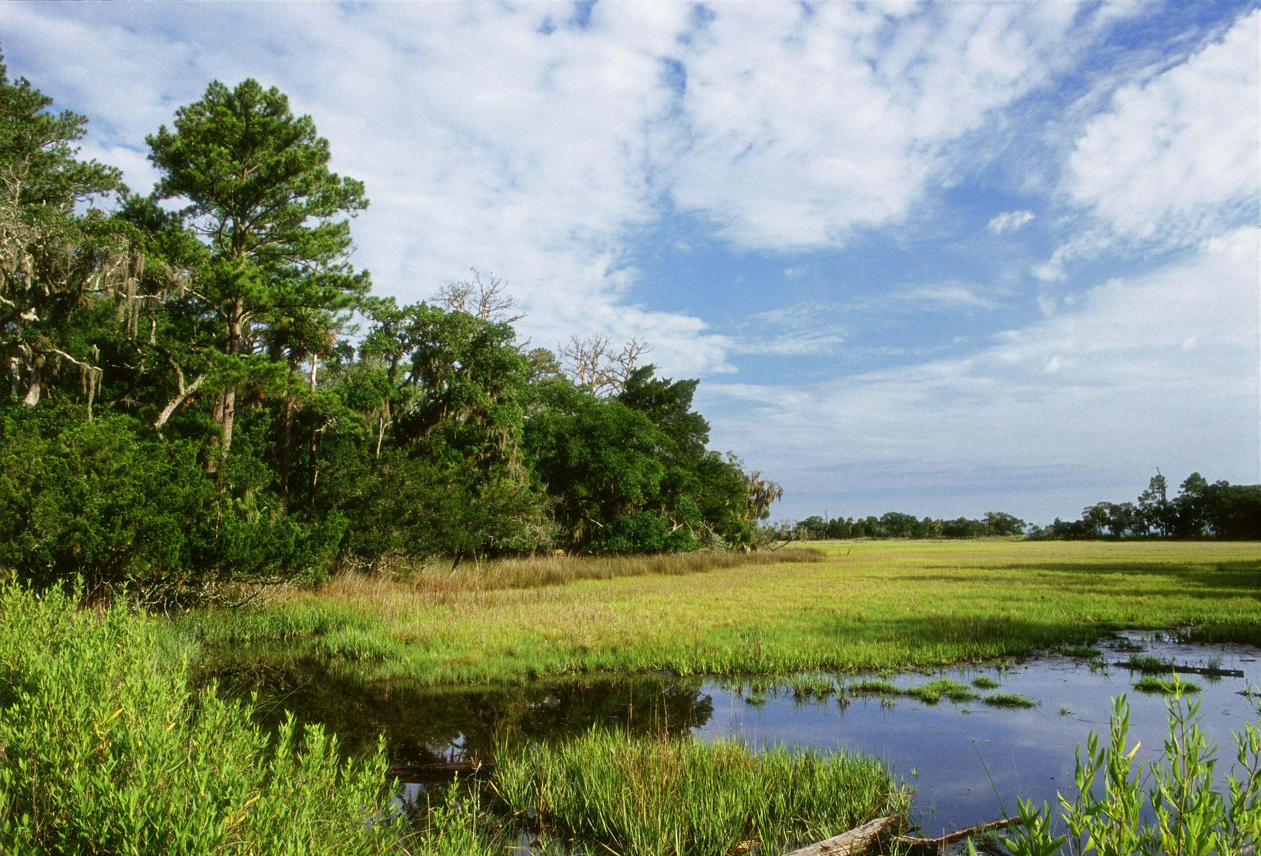
Photo credit: Marc Del Santro. One of Georgia’s salt marshes on Ossabaw Island.